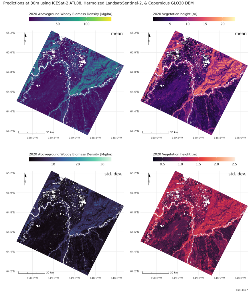
Circumpolar boreal aboveground biomass density (AGBD) and vegetation height (v2) is being transferred to the Oak Ridge National Laboratory DAAC.
The map is built on MAAP with machine-learning models combining the 2020 archive of ICESat-2 height estimates with predictors from topography and Harmonized Landsat/Sentinel-2 surface reflectance.
The v2 dataset is available on the MAAP STAC. It features:
- better representation of 0 heights (v6 ATL08);
- both Landsat and Sentinel-2 HLS inputs;
- neighborhood tile model enhancements;
- updated tile-level training data sampling;
- fixed topographic coviates data calculations;
- post-processing masking bug-fix
- no moss/lichen mask
- refactored code base to improve run-time efficiency

This release completes the boreal component of a global carbon stock assessment derived from NASA space borne data.
Authors:
Paul Montesano | NASA Goddard Space Flight Center | ADNET Systems, Inc
Laura Duncanson | Dept. Geographical Science, U. Maryland College Park
